
David Young Xcursions: Gibraltar


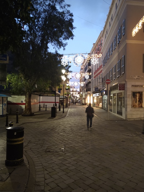
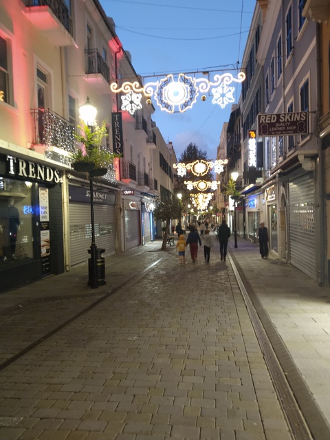
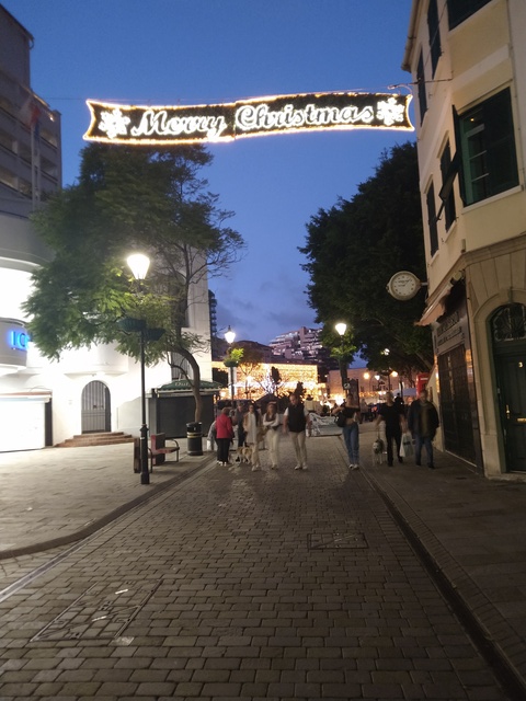
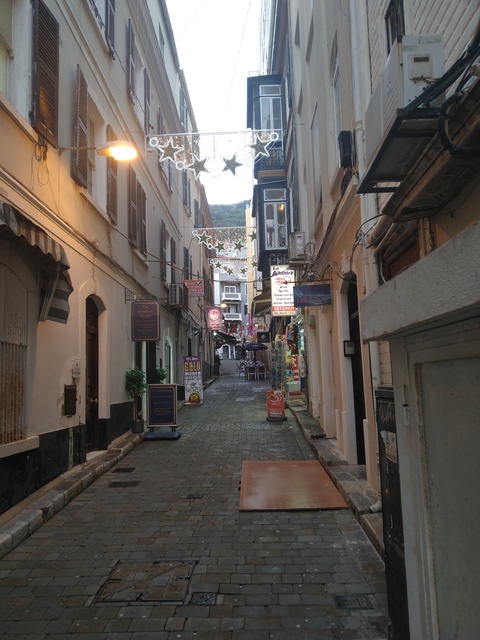
Christmas lights on Main Street 22no2024
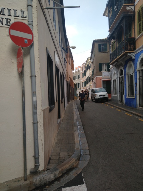
People are missing because photo was taken late in the day
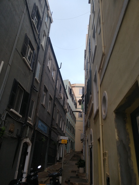
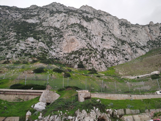
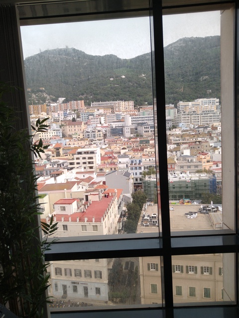
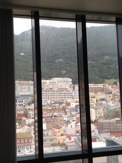
Older town is built on the lower slopes of the west side of the rock which is just there at the top in this picture
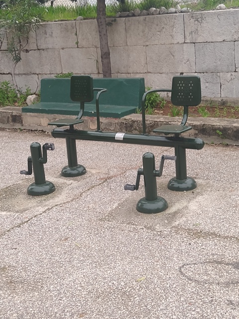
Not only keep fit: Town map has defibrillator positions shown
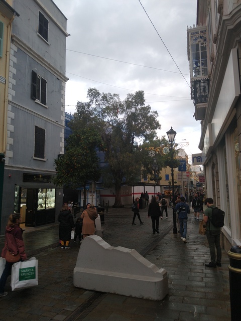
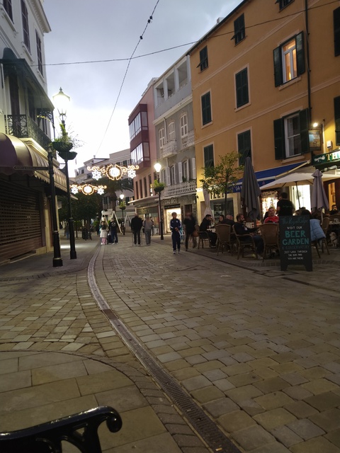
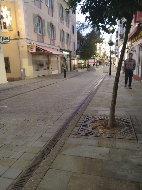
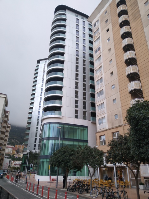
Main Street

Inside is the race circuit for the 4-wheel motorised chairs
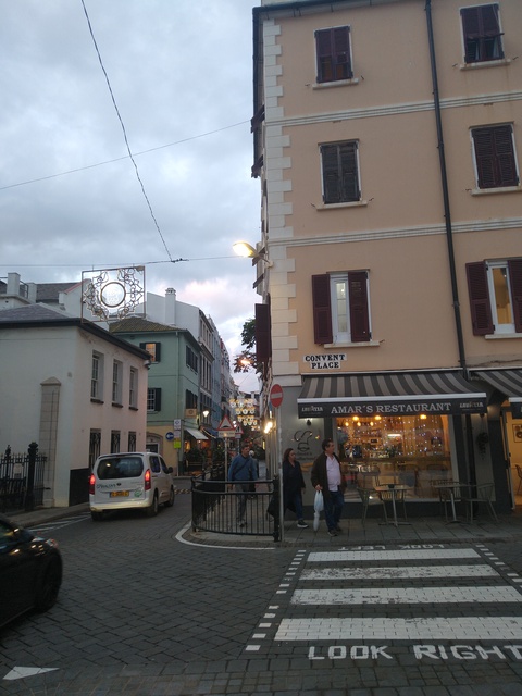
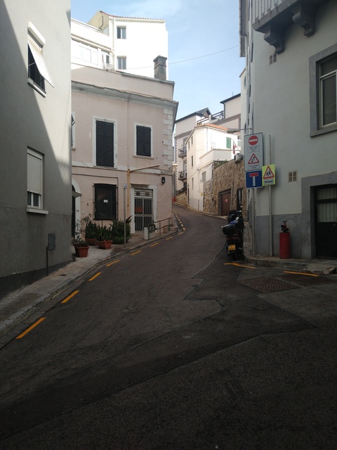
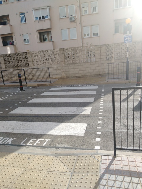
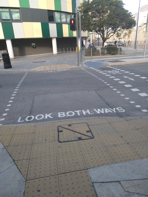
The only British territory that is left hand drive. Every pedestrian crossing is labelled to look the correct way for the traffic, cars or bikes. OK Hellen?
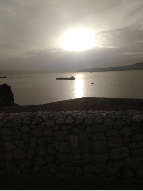
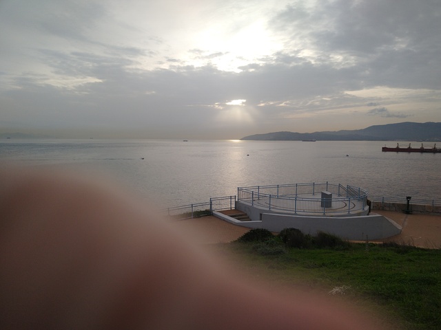
West across the bay
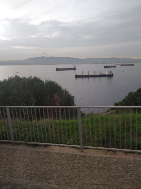
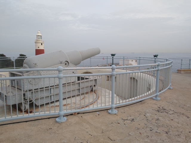
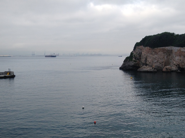
Commanding the Strait of Gibraltar
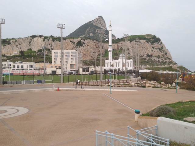
South end of the rock; 25km to Morocco
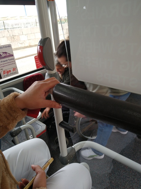
Wheelchair access on the kneeling buses
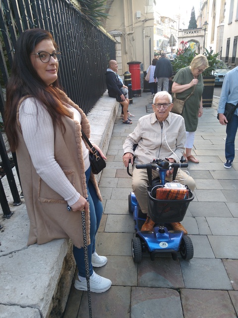
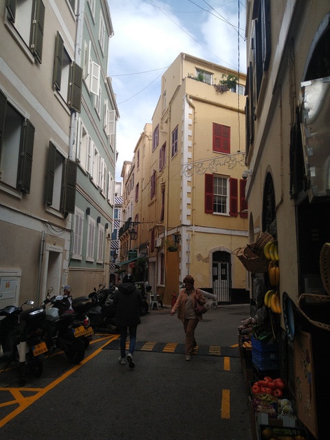
4-wheel motorised wheelchairs allowed where pedestrians go
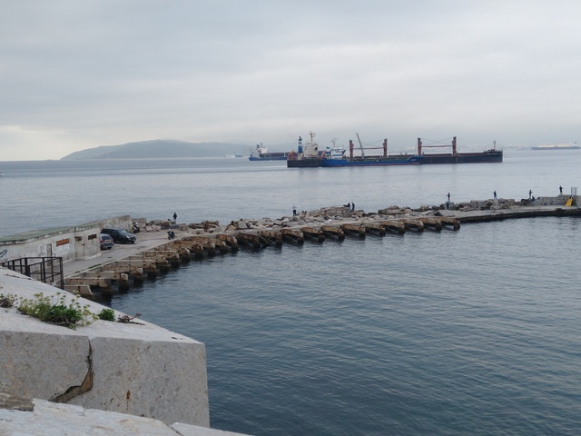
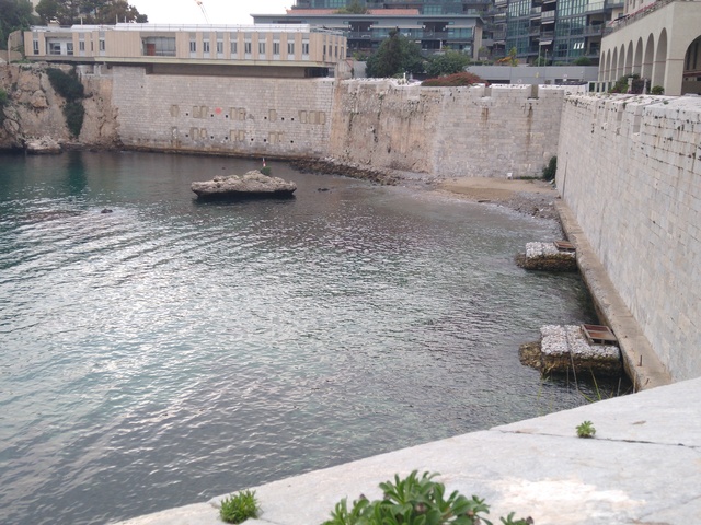
Rosia Bay
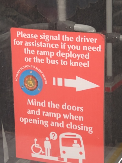
Buses kneel on command
Buses organised
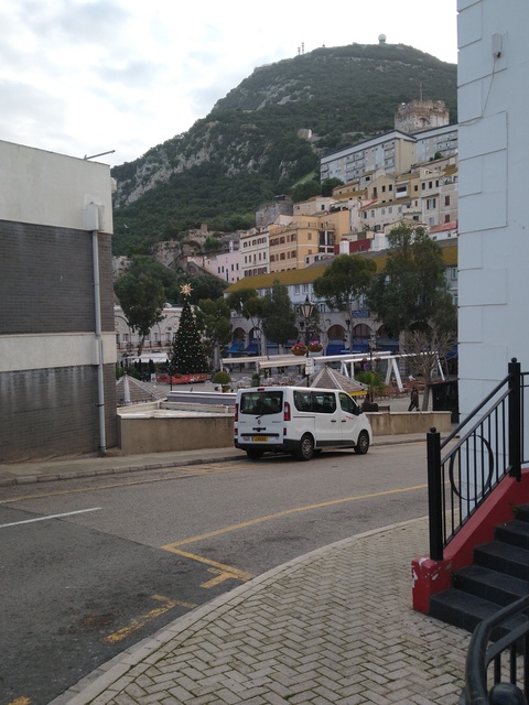
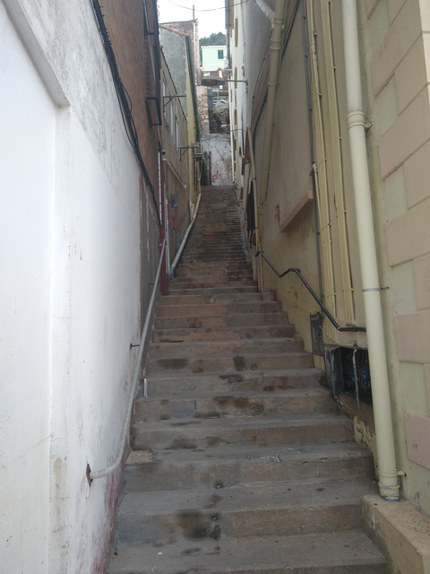
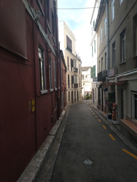
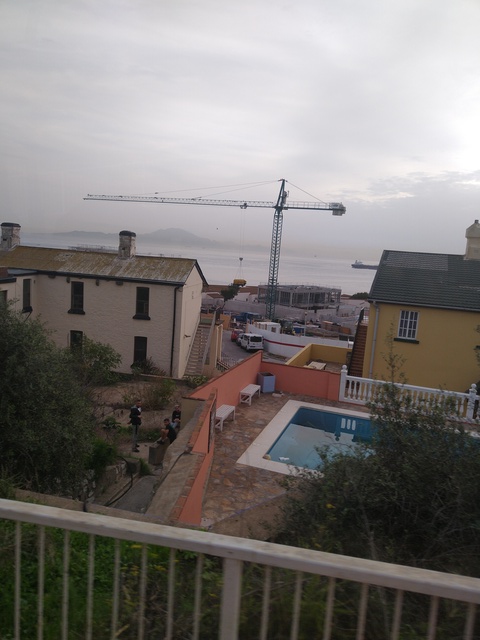
Low end of Lynch`s Lane
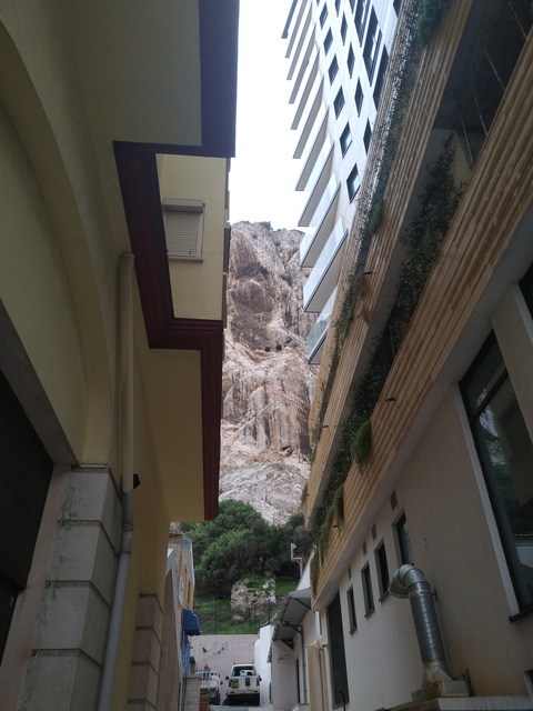

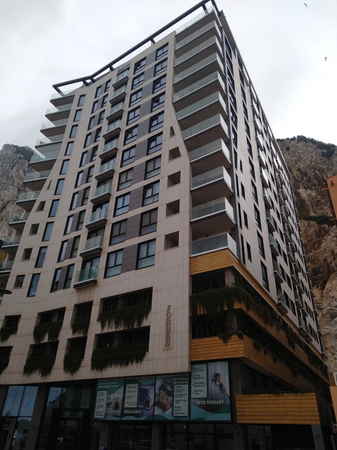
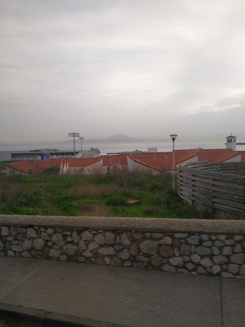
Forbes on Devil`s Tower Road
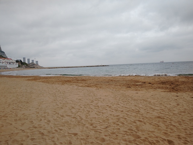
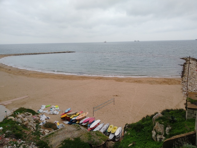
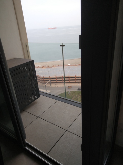
Eastern beach
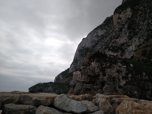
East side of the rock

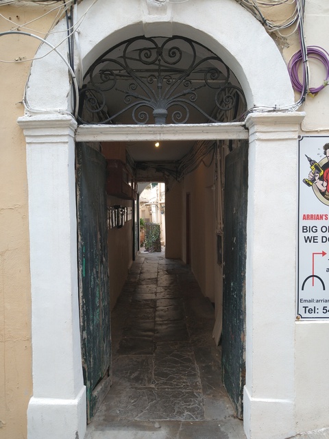
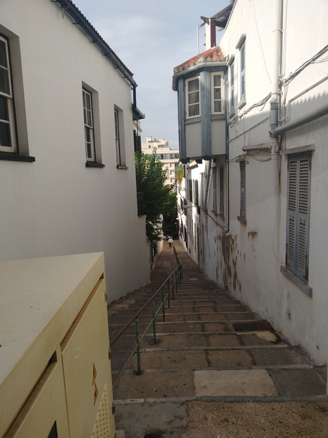
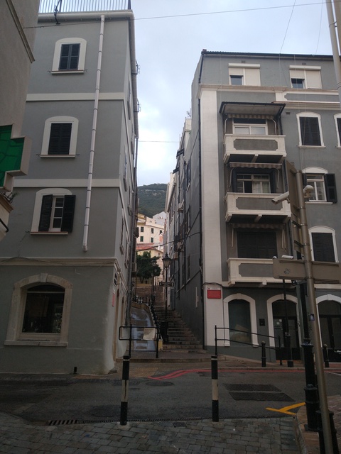
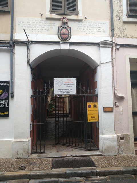
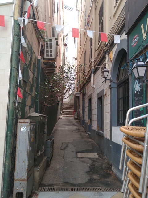
An entrance off Castle `Street` which is stepped and with a ramp one side
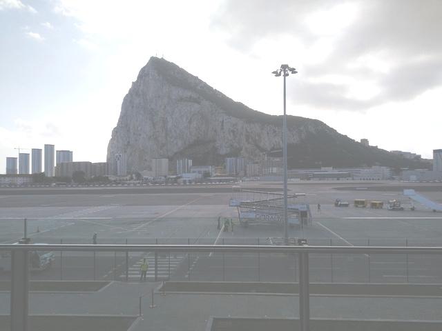
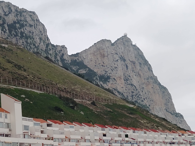
North end of the rock
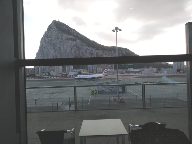
Same from airport
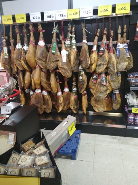
Pork leg prices are in pounds
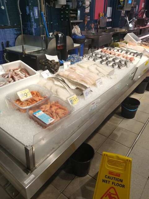
Seafoods 1

Seafoods 2
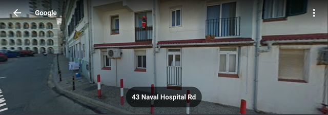
First visit to Naval Hospital Road, March 2025
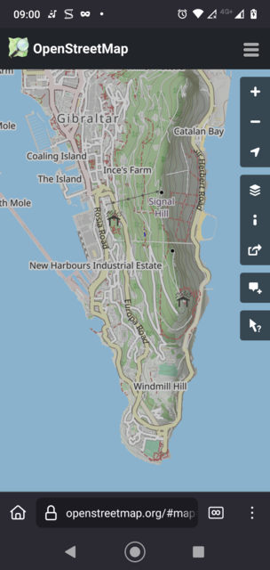
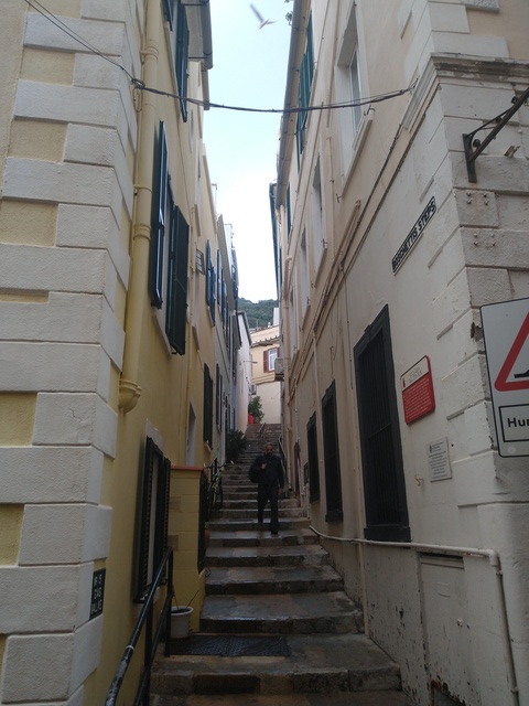
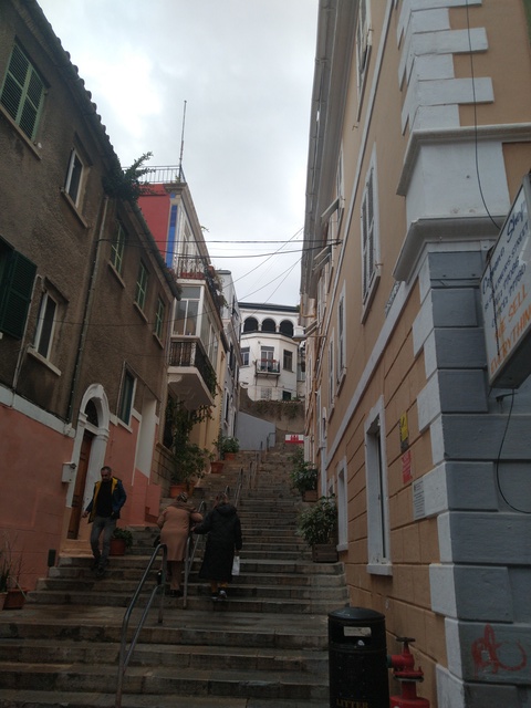
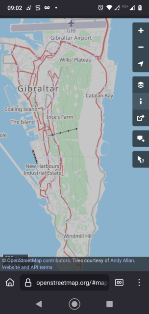
Use Openstreetmap `cycle` view to pick up the stepped streets!
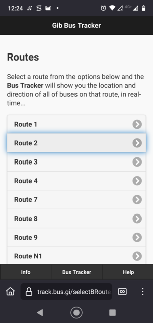
Bus routes
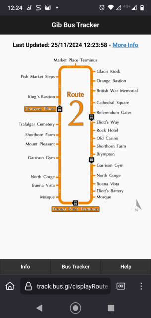
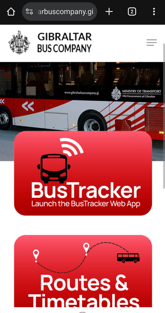
Bus app
Bus app tells you when it is coming
Content not identified as being by others is copyright © David Alexander Young 2004-2026. Page started 7ap12
Made by David Alexander Young 2005-2026. Programme updated 3rd October, 2025, 08:09