David Young Xcursions: Lesotho
For a 1969 AA map (3Mb) in new window, select here

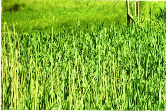
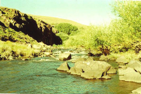
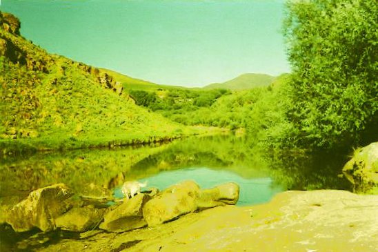
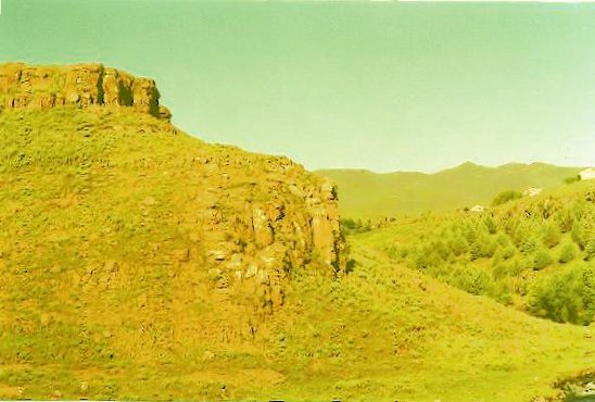
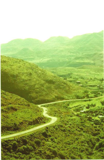
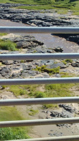
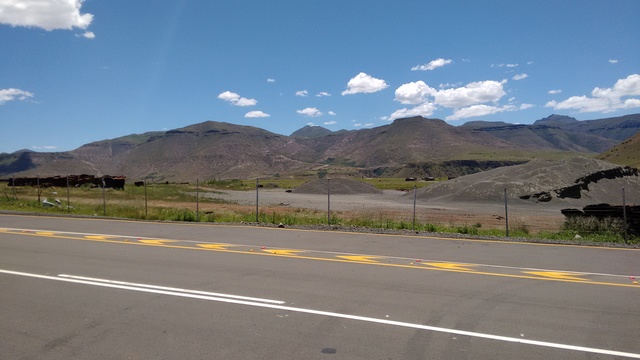
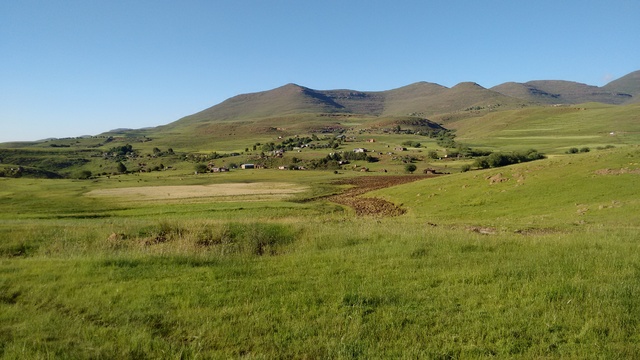
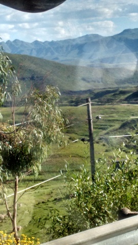
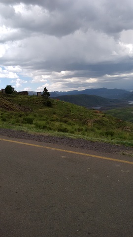
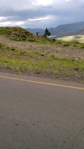
Mantsonyane, in the middle of the country, at the end of the road in 1970. A view to the wheat fields from our temporary home. At this time, the route to Thaba Tseka started on the other side of the river, with rocks placed to allow a Land rover to climb the bank
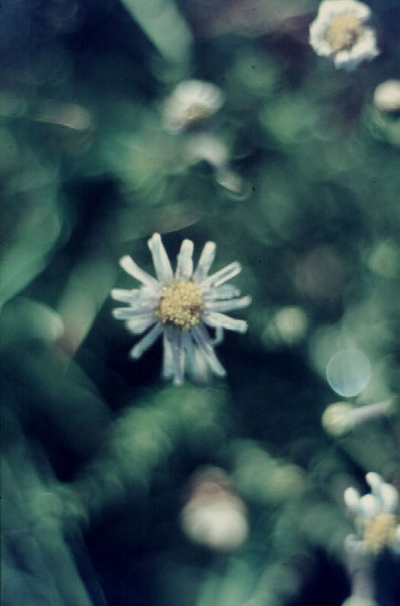
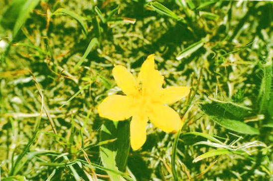
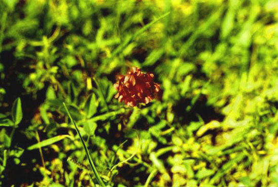
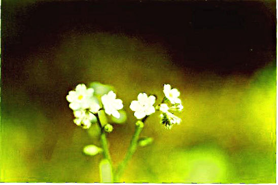
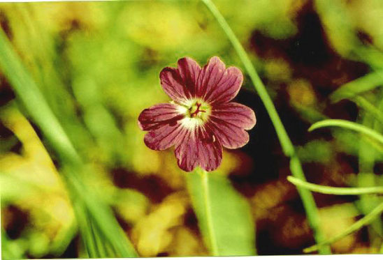
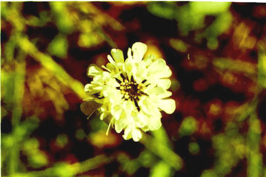
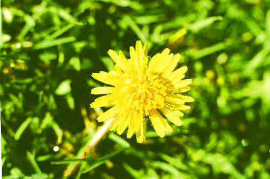
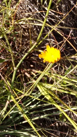
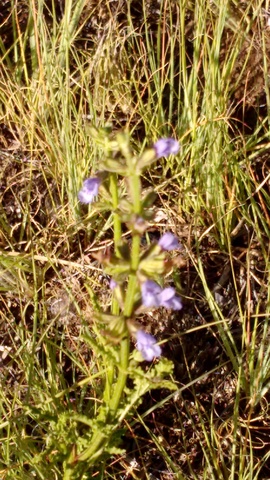
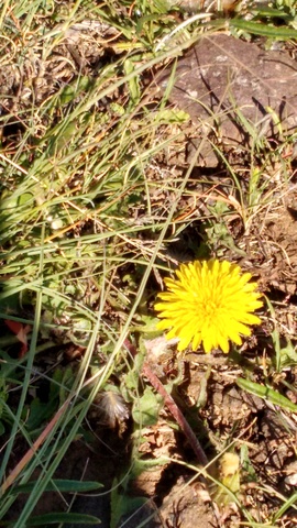
No large vegetation, but small flowers were seen
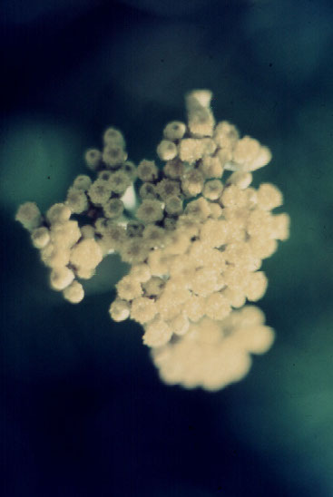
Some very small
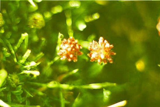
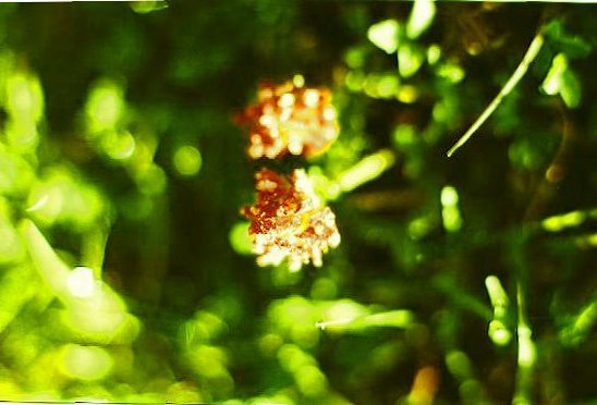
Some very subtle, 1970
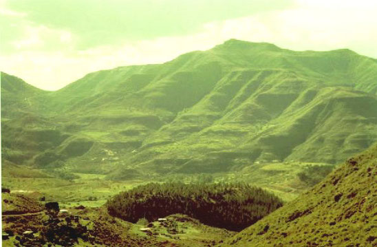
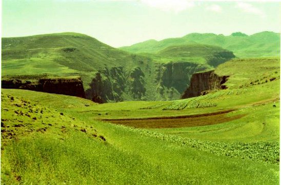
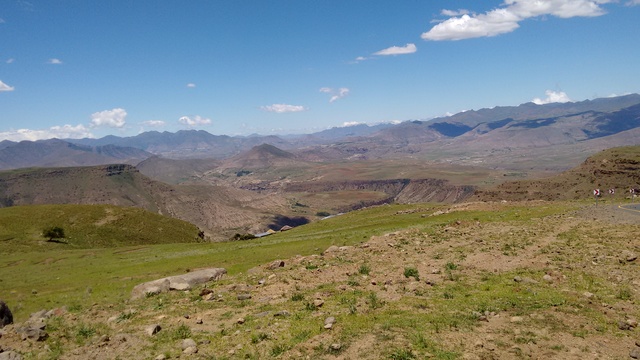
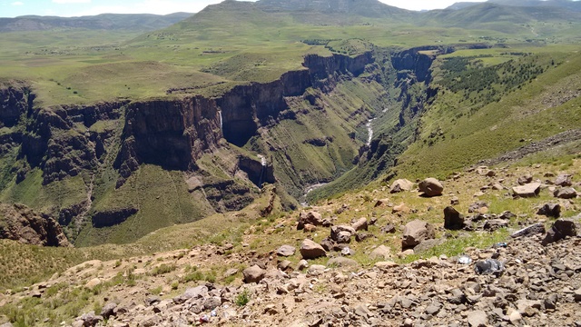
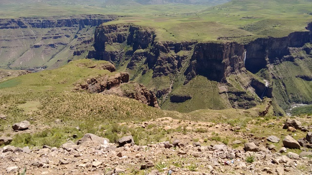
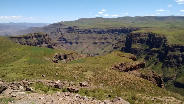
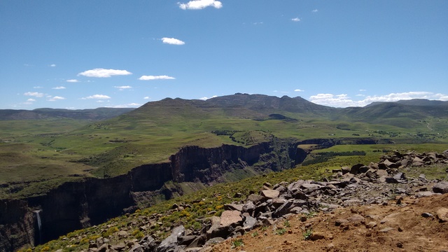
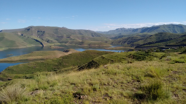
At the end of 2004, visited again. En route to Semonkong
And further
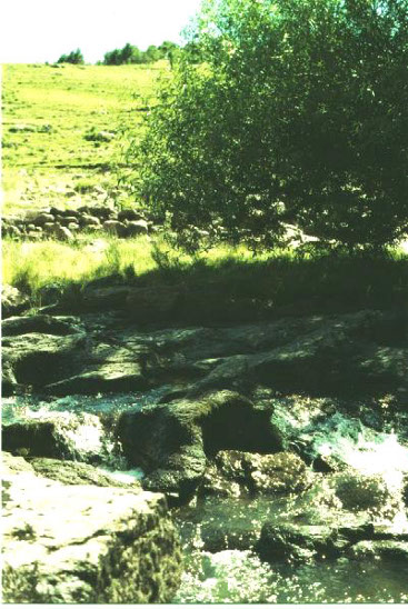
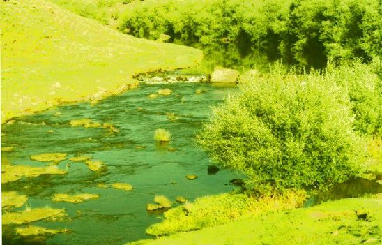
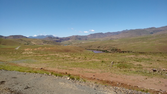
The river has a small dam (for kayaks and a hydro power plant)
With reed beds and weaver birds
The hotel serves breakfast on the bank
There was also a camp site at the hotel
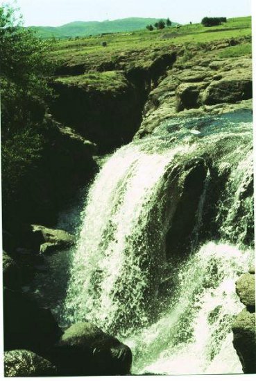
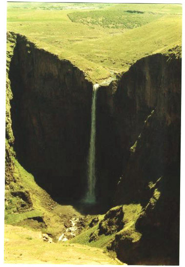
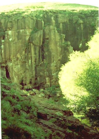
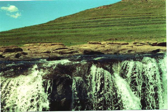
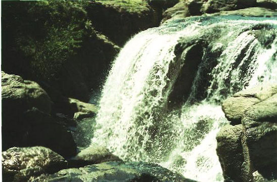
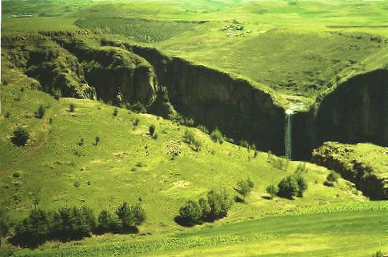
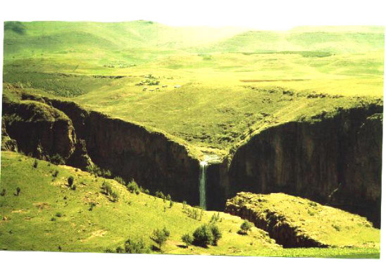
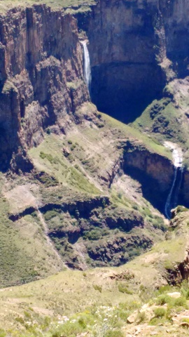
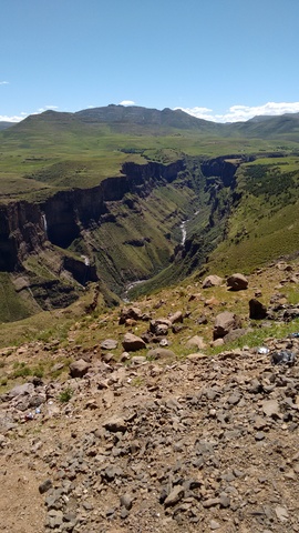
Maletsunyane falls
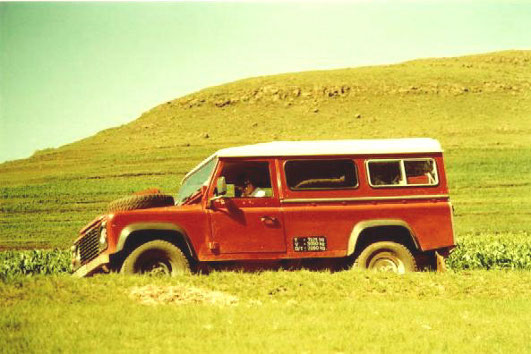
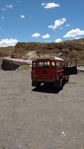
Landrover with grass above: definitely not Botswana, ja05
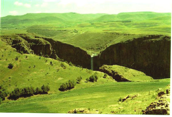
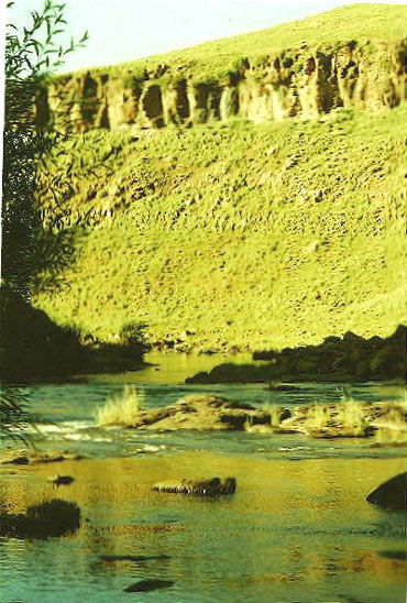
Walking down the river from Semongkong towards the falls
The dog came along for exercise
The start of the long way home ja05
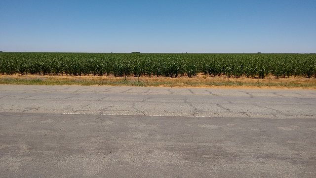
In 2015, there was a new visit to the south and centre. On the way, crossing the Free State on Sunday, I had to stop for a while to watch the mealies grow. At four places in SA, key road signs missing caused me to temporarily lose my way.
I may have been in Botswana too long; The green stuff on the ground at the Mountain View accommodation in Zastron was a pleasure
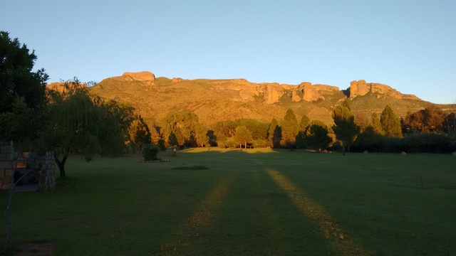
As was the view of the mountain.

The Motorola phone camera was on its first try-out, and took some wrestling to get it doing the basics.
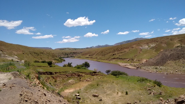
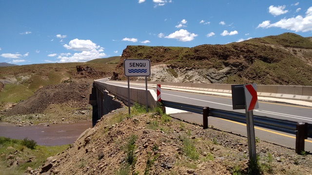
Coming up to the single lane bridge at the Orange river.
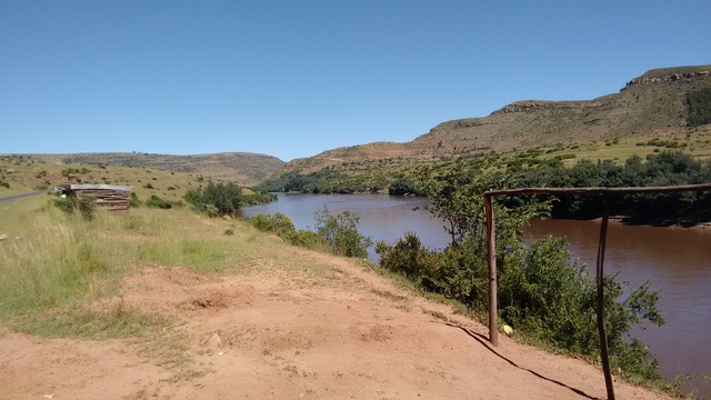
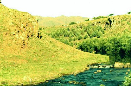
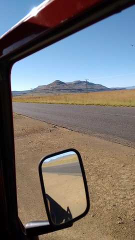
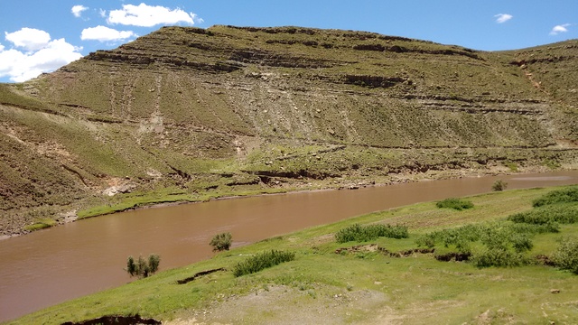
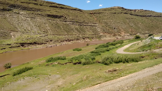
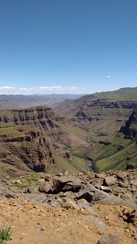
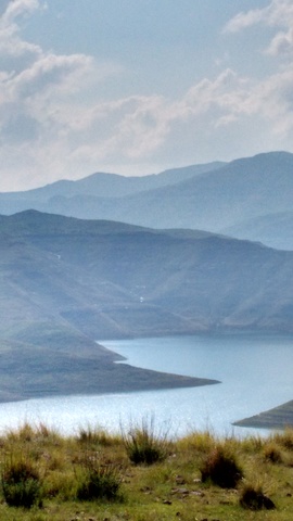
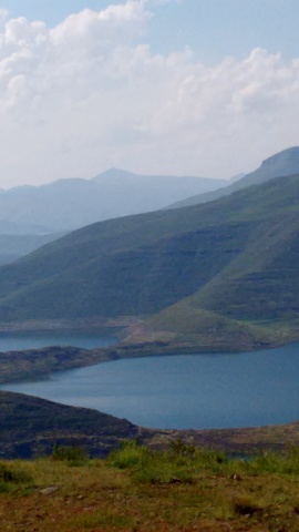
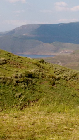
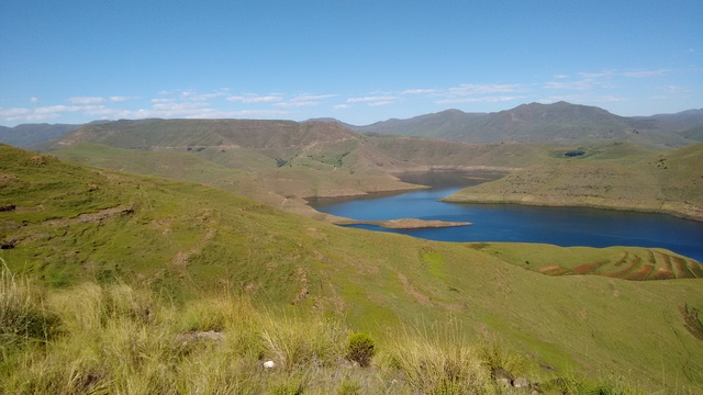
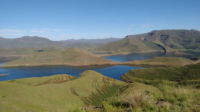
And into Lesotho, with views of the Senqu/Orange
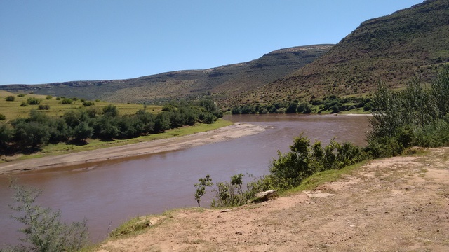
The parts I could see looked ok for the kayak, but a pre-paddle flight to see conditions would be good
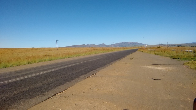
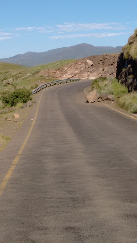
The existing tar road along the river is in a bad way, with many potholes, many crude marked speed control bumps and many unmarked ones.
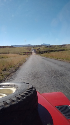
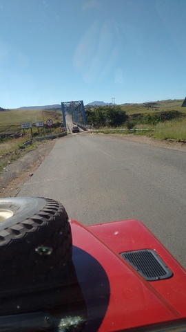
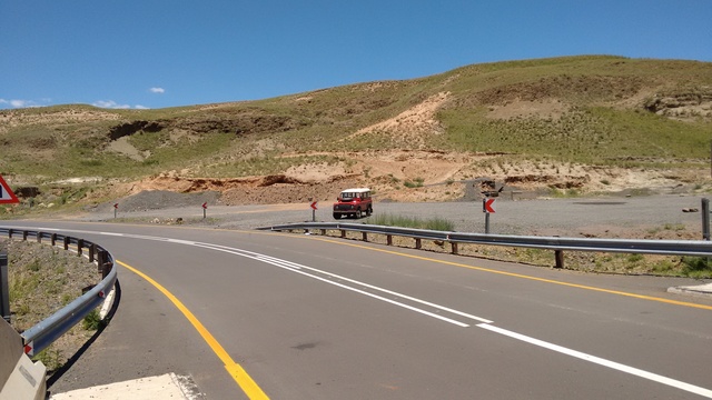
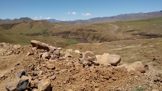
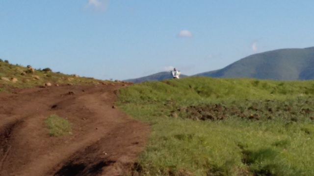
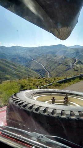
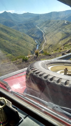
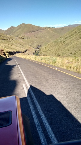
The start of the newly built road from the south to high Semongkong and down again to Roma
He walked across the new bridge, then climbed on the live 4x4 to go straight to his destination.
Every hamlet along the new road got at least two decently made speed control humps. Top speed limits vary: 40, 60 and 80km/h
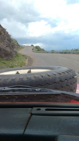
Traction on the new road is 2nd and third gear, up- and down-hill.
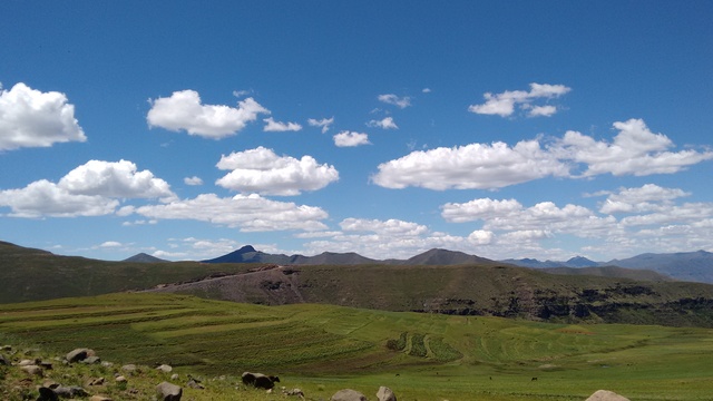
At Semonkong Lodge in the cool air. The access road is presently interesting
A walk on the west side of the river from Semonkong
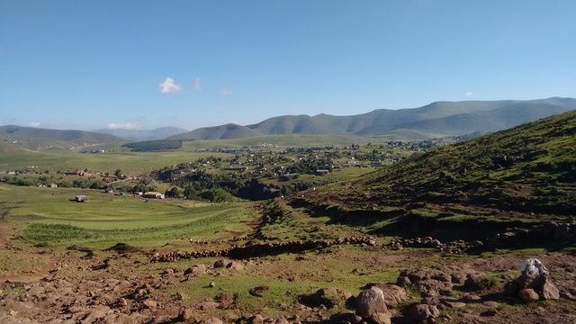
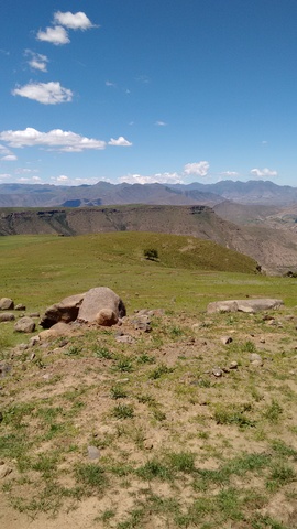
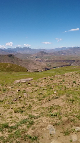
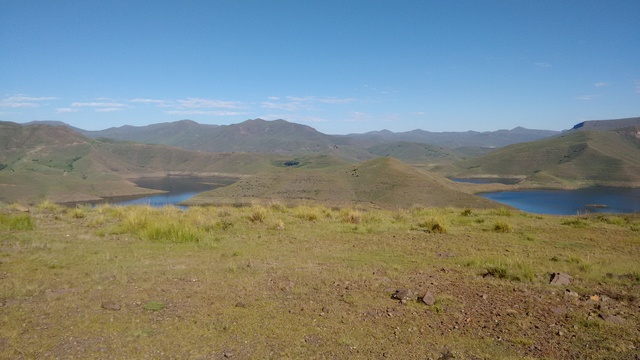
Semongkong from the south.
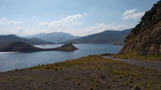
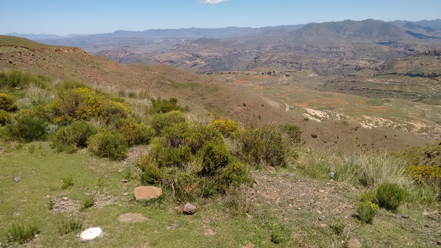
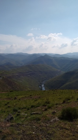
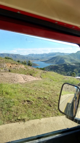
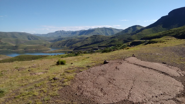
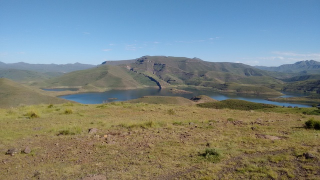
And on to Mohale Dam via Roma and the Mountain Road. Cool air in January.
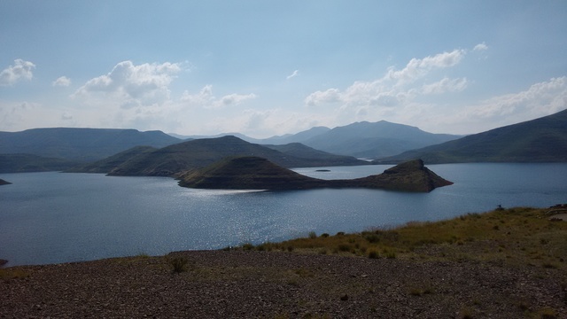
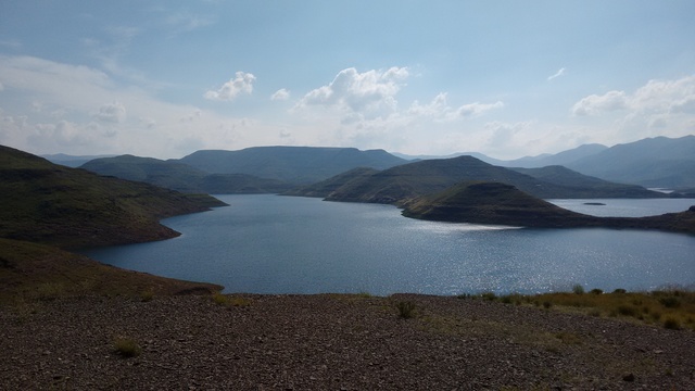
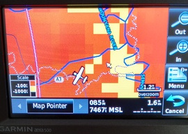
A GPS screen shot. The lodge is at the aeroplane, the road runs right and then up, 22km and 30 minutes, with 2nd and 3rd gear up- and down-hill, all tarred
Mohale Lodge gave a welcoming discount.
You can see the tight return on the gps in 3d here.
My take: Place of the chief with a cold
I was assured by the boating manager that rocks only fall onto the roads at night, and no visitors have been impacted.
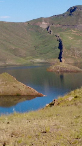
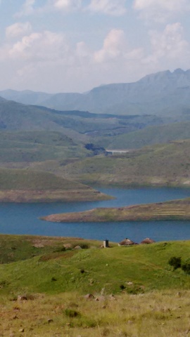
The little great wall is a fault line. The dams are monitored for seismic activity in some detail.
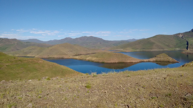
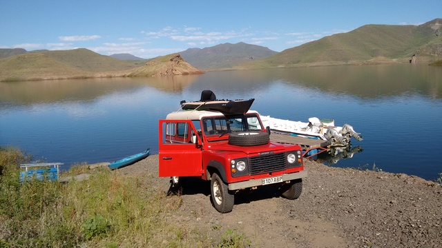
The kayak on the rover at the boat launch. The water was 12m below full.
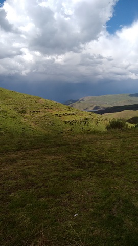
The weather became more active on the Thursday .
And so the end of the 2015 visit, before re-crossing the Bushmans, God Help Me and Blue Mountain passes along the Mountain Road
Content not identified as being by others is copyright © David Alexander Young 2004-. Page started 6ap12